The Great North Road
Travelling a world heritage route with the spirits of our pioneers
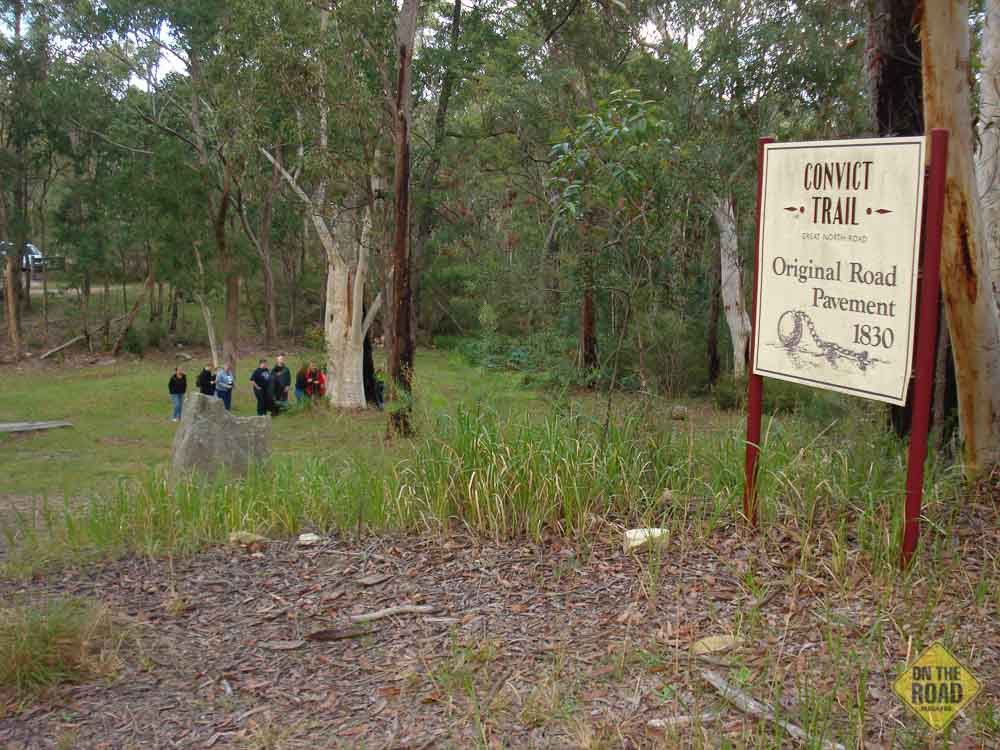
The modern M1 Pacific Motorway provides travellers with quick access between the scenic pleasures of the Hunter Valley and our largest city, Sydney. The journey takes less than two hours of pleasant travel but an inland route exists for those travellers who have more time on their hands. This system of back roads follows in the footsteps of explorers, pioneers and convicts. It follows the route of the Great North Road which linked Sydney to the Hunter around 1830. Sections of this route have recently been awarded World Heritage status. Other sections are listed as National and State Heritage Sites.
Today, the Convict Trail Project oversees the preservation and maintenance of the Great North Road. Local councils, government institutions, historical groups, tourism authorities and interested individuals all contribute to providing a unique travelling opportunity with a strong sense of history.
From the north, the New England Highway can be exited at Singleton or Maitland and the branches of the original road can be traced comfortably to the junction village of Wollombi. The Convict Trail Project has for many years been placing historical markers, plaques and wooden information posts at various features along the route. Visitors will see these roadside interpretations which will explain the local pioneering and convict features. Many of these features are marvellous works of convict engineering which still support road traffic in today’s fast world.
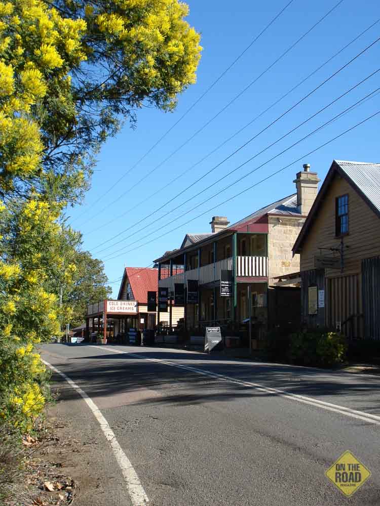
Wollombi contains many historic attractions and is worth an extended visit. Churches, museum, hotel, craft shops, general store, cafes and restaurants are features to explore and experience.
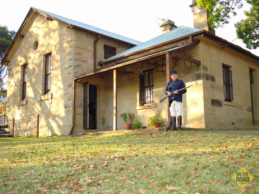
The route continues southward through Laguna to Bucketty. Old homesteads and hidden valleys are a feature of the drive. There are also plenty of historic sites where you can pull up and read the history. It pays to travel slowly on these rural roads as roadside features are numerous. Watch out for Mulla Villa B&B, once the home of the 1840s Police Magistrate David Dunlop. There is also Laguna House, Thompsons Bridge, Murrays Run Culvert, Fernances Culvert and Ramsays Leap.
At the Bucketty junction, the route turns right. At this intersection is a wonderful open area rest stop where there are fine examples of original stone walling, original pavement and a short walk to a restored culvert.
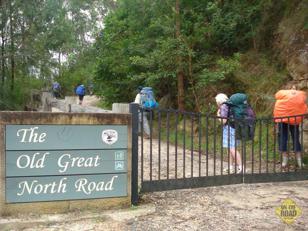
The route along the St. Albans Road is unsealed. It is narrow, winding and steep (mostly downhill) in places but still suitable for towing although turning opportunities are few. The St. Albans Road Ramp is a feature before reaching the crest of the range at Mt. Manning. Here you will notice a plaque and a rough road going off to the left. This is the actual Great North Road heading southward to Wisemans Ferry. This section is no longer trafficable and is now used by walkers and cyclists. It is a three day walk to Wisemans Ferry and walkers are rewarded with magnificent examples of convict engineering.
Soon after this junction, the peaceful Mogo Creek Camping Area is reached. This is located on a large grassy flat surrounded by wattle trees in Yengo National Park and has basic facilities including pit toilets, wood barbecues, cooking shelter, tables and parking bays. On-site fees apply. A walking track heads off at the bottom of the clearing and gives access to the convict built Circuit Flat Bridge further down the Great North Road. A few hours are needed to complete the return walk.
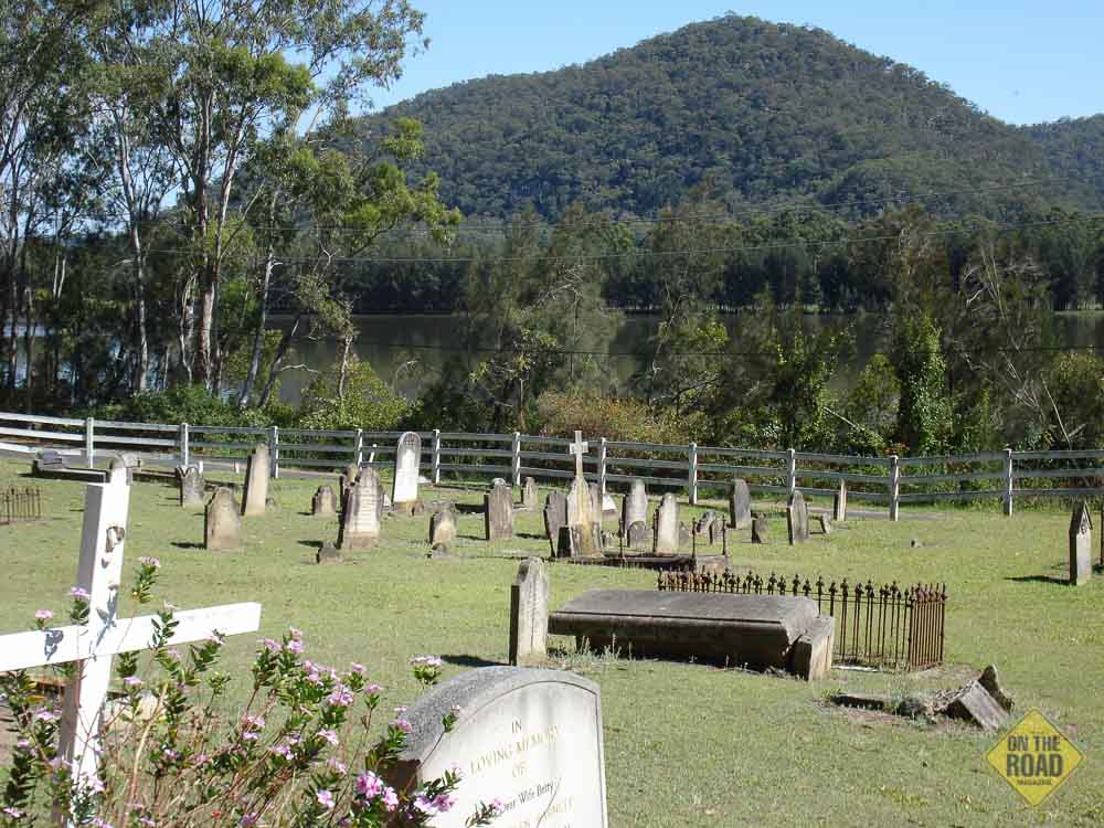
The St. Albans Road continues down to the valley of the MacDonald River and through the unique lands of the St. Albans Common. Note the slab built Deans Farm cottages on the left as you descend. The St. Albans cemetery is worth a ramble as it gives excellent viewing opportunities across the valley.
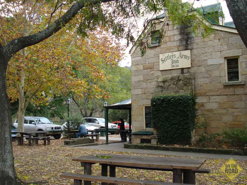
The feature of St. Albans is the historic 1840s Settlers Arms Inn. You can get meals and coffee here as well as accommodation. There is a broad picnic space across the road by the river where you can pull up for the night. A short exploration may turn up some surprises such as a gallery or two.
Two choices of route are now on offer. The old wooden bridge can be crossed and the scenic road followed down to the Hawkesbury River where the Webbs Creek Ferry gives access to the township of Wisemans Ferry. The other choice is to stay on the same side of the MacDonald River and follow the Settlers Road down to the Hawkesbury and cross on the Wisemans Ferry to the township of the same name.
Prior to reaching the ferry from Settlers Road, the large gates on the left mark the re-emergence of the Great North Road after its long non-trafficable route down the Judge Dowling Range from Mt. Manning. Beyond the gate the road can be followed on foot for a few kilometres. The ascent is gradual on a good surface and the walker will be rewarded with some of the best convict engineering works in the country. These have now taken on World Heritage status. Interpretive signs explain the culverts, high stone retaining walls, quarrying techniques, hangmans cave, stockade site, blasting techniques as well as the hardships and lifestyles of the convict builders, guards and overseers.
The walk of course will take you back up to Mt. Manning in three days but the main features can be seen in the first two kilometres to the top of the ridge. An extension can be made at the top of the ridge by turning right and following the earlier Finch’s Track above the river cliffs. This leads to spectacular vantage points overlooking Wisemans Ferry and a descent can be made to the current road a couple of kilometres downstream from the ferry. A car shuffle is best if doing this complete walk.
Just past the gate and before reaching the ferry, you will cross over the Thomas James Bridge. Built in 1830, it is the oldest still trafficable bridge on mainland Australia.
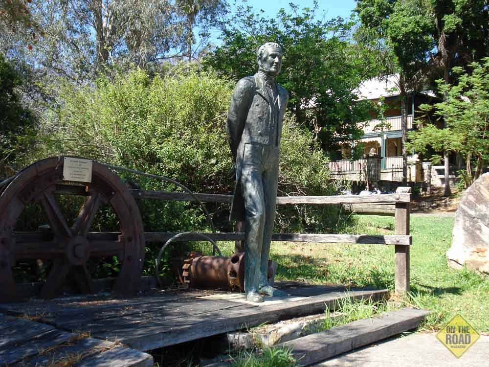
The township of Wisemans Ferry has many attractions of an historic and modern nature. Solomon Wiseman settled here in 1816. Supplies are available and van parks are located at various sites along the river where extended stays are rewarding and further explorations can be made.
Convict works are still evident where the Great North Road climbs out of the Hawkesbury Valley from Wisemans Ferry. Hawkins Lookout is a feature at the top of the escarpment and provides views over the Webb’s Creek Ferry.
The route continues through rural Glenorie and Dural and on through the urban areas of Pennant Hills, Parramatta or Ryde to Five Dock and the centre of Sydney.
New Map. On Tuesday 11th March 2014 the latest map in the popular free Cartoscope series was launched at the historic village of Wollombi on the Great North Road. This map, The Great North Road – Convict Trail, covers the overland route with driveable sections from Sydney to the Hunter Valley and Newcastle. The map has been in production for over a year with extensive research locating the historic sites along the route. QR codes located on the map can be scanned to reveal more interesting facts on the sites along the way.
The map is now available from visitor centres and businesses along the Great North Road and environs or from Cartoscope Pty Ltd, PO Box 1900, Hornsby Westfield, NSW 1635
Location
Most of the route is along rural back roads, some unsealed. These can be narrow, steep in places and winding. Turning opportunities may be rare. Allow plenty of time to explore at a steady pace. There is much to discover along the way.
Distance
It is 110 km between Cessnock and Wisemans Ferry and 130 km between Singleton and Wisemans Ferry.
Supplies
There are no opportunities for supplies or petrol between Wollombi-Laguna and Wisemans Ferry. It is best to stock up or fill up prior to leaving the Highway. Camping sites are available at Mogo Creek, St. Albans and Wisemans Ferry.
Contacts
Convict Trail Project
PO Box 222, Galston NSW 2159
02 9653 2001
The website gives access to an excellent series of downloadable electronic brochures which cover most sections of the route with maps and historical information.